Timegiver
Timegiver makes your trips better by helping you beat jet lag. It does this by providing you a plan that times your meals, caffeine consumption, and sleep in a way that will jump start your body's transition to the new time zone. It is inspired by the work by Dr. Charles Ehret.
Timegiver was originally released as an iOS and Android app at the end of 2016. As those platforms evolved, the app had to be constantly updated to keep up with changes in the underlying OS. Eventually, because of the constant demands, the app was withdrawn from the app stores and retired.
Then, in 2022, I decided to reimagine Timegiver as a web application. Now, Timegiver is accessible from any device that has a browser. The steps of the plan are provided in .ics files, which allows the plan to be imported into most calendar applications. This means your plan is now available across all of your devices from a familiar interface, your calendar.
Open Source NASR Data
A wealth of data pertaining to using and navigating the airspace of the USA is freely published by the Federal Aviation Administration (FAA). The data is typically published in delightfully-formatted text files or atrocious XML files. It is updated on a 28-day cycle. I have created Alteryx workflows to parse these data files and publish them to a publicly-available Snowflake database.
In addition to airspace-related data, I have also included ground elevation data sourced from the United States Geological Survey (USGS). This data is also freely available to the public, but in the form of geotiff files. Geotiff files are image files that are geocoded with coordinates. In the geotiffs provided with elevation data, each pixel represents the elevation of an area of the ground. The geotiffs used to fill the ground elevation data are each 1 degree x 1 degree. One pixel represents 1 arc-second of ground.
Reading the geotiff files required creating a custom Alteryx tool using the Python SDK. More details about the custom tool, including the code, are available on GitHub.
More details about the open source NASR project, including the workflows used to perform the ETL operations, are available on GitHub.
Workflow Web Server
Workflow Web Server was a web server that uses Alteryx as a back-end. It served standard web pages while exposing an API to call Alteryx workflows and retrieve their output. Several demos were created, including a page that rendered terrain in 3D using data sourced from a Snowflake database.
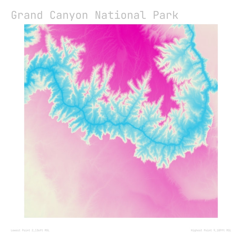
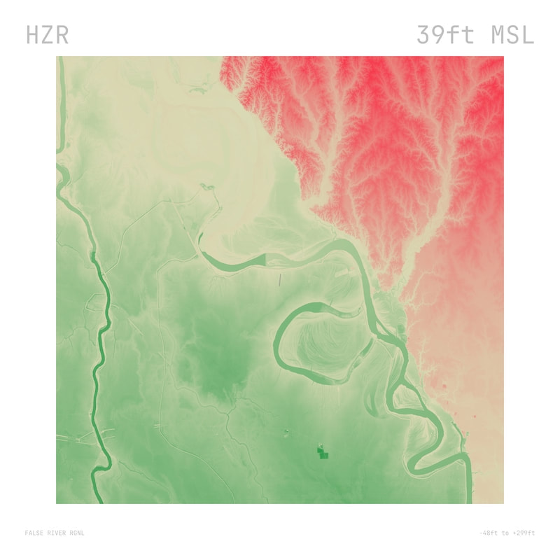
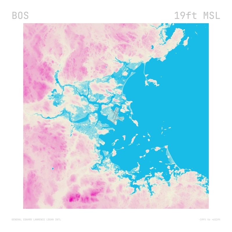
Data-Driven Landscapes
Data-driven landscapes were renderings of the topology around airports and geological features (such as national parks). They were available as prints on canvas or aluminum. The image for the prints was generated from publicly-available data using Alteryx.